-
July 31, 2024
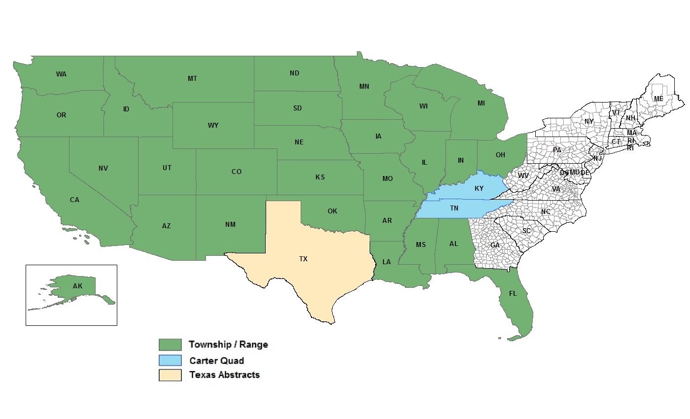
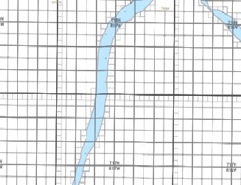
Land grid data is basically the information that maps out land into a grid or network, based on set coordinates or natural landmarks. These grids help to identify, manage, and keep track of different land assets.
Thomas Jefferson is synonymous with this land grid. As the father behind westward expansion and distribution of the land that came with it, he believed that dividing the land into uniform parcels through the Public Land Survey System (PLSS) would encourage land ownership and participation in the new territories.

-
July 01, 2024
Tax parcel data encompasses a wide range of attributes such as property boundaries, ownership details, assessed values, and zoning classifications. This info helps with accurate property assessments, urban planning, taxation, and better public services. For businesses, it aids in planning and risk management. Overall, having accurate, up-to-date tax parcel data helps everyone make smarter decisions that benefit the economy and community.

-
June 10, 2024
We are thrilled to announce our latest updates in tax parcel data. Our database now boasts:
- 158.5 million parcel polygons
- 182.2 million matched addresses
- 160 million building footprints
- 87.6 million standardized zoning entries

-
May 21, 2024
At USLandGrid, we understand that the foundation of accurate and reliable land data lies in the source. That’s why we pride ourselves on providing the most precise, up-to-date, and detailed land grid data available. Our commitment to excellence drives us to always refer back to the original sources, ensuring that our clients receive the highest quality information.

-
May 13, 2024
Acres and sections are both units of measurement used to determine the area of land. In the matter of land measurements, understanding the relationship between acres and sections is imperative. In this blog post, we will explore how many acres are in a section of land and how to convert between these units of measurement.

-
April 16, 2024
Infrastructure mapping isn't just about tracing lines and plotting points on a map. It's a fundamental group of layers that shapes the planning, building, and maintenance of the spaces we live in. It "bridges" the gap between theoretical planning and real world execution, ensuring developments are sustainable, efficient, and aligned with human and environmental needs.
You can now dive into a world of detail with our extensive infrastructure information, encompassing everything from roads, rivers and bridges to transmission lines, pipelines, wind turbines, power plants, and boundaries. Our data doesn't just skim the surface; it provides a deep dive into the geographical tapestry of your location.
-
April 10, 2024
Explore the most complex and detailed tax parcel dataset paired with 135 million+ building footprints. Data that includes the building polygon, the primary occupancy, the parcel of land it resides on, address, height of the building and area of the building - all matched with the most up-to-date tax parcels available.
-
March 25, 2024
Imagine facing a costly dispute due to conflicting land surveys. It's a high-stakes situation many in the oil and gas sector dread. In any land asset-driven industry, discrepancies between different land surveys can lead to significant conflicts and delays. One of our clients faced this exact problem, with two opposing surveys (one based on metes and bounds and the other from an apparent survey marker) casting doubt on the boundaries of their operational field.

-
March 20, 2024
In the ever-evolving oil and gas industry, staying ahead means leveraging every tool at your disposal. Among these, land maps and land ownership data stand out as game changers, offering a wealth of information that can lead to improved strategic decisions and operational efficiencies. This article sheds light on how these resources can be pivotal in navigating the complexities of the oil and gas sector, helping companies optimize their exploration and production activities while minimizing risks and legal hurdles.
The Power of Land Maps in Oil and Gas Operations
Understanding the Terrain: Land maps provide crucial geographical information, enabling companies to assess the terrain, identify access routes, and plan infrastructure development with precision. This is invaluable in minimizing environmental impacts and ensuring the safety of operations.
Strategic Exploration: By combining land maps with geological data, companies
-
 sales@uslandgrid.com
 Phone : 877-870-8872


