$100.00
In stock
SKU
in_culture_64
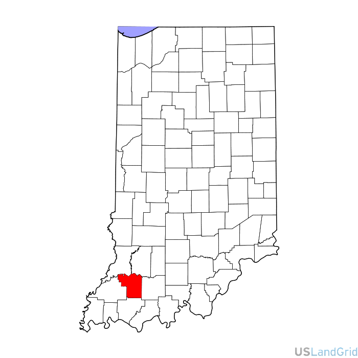
STATE: INDIANA
SOURCE: Census Bureau - TIGER 2012
DELIVERED PROJECTION(S): Geographic (GCS) NAD27 Datum, Geographic (GCS) NAD83 Datum
FILES: Major Roads, Local Roads, Service Roads, Access Roads, 4WD Trails, Streams, Rivers, Lakes, Bays, Reservoirs, Landmarks, National Parks, State Parks, Local Parks, Indian Lands, Fence Lines, Ridge Lines, Power Lines, Railway, County Boundaries, etc.
 sales@uslandgrid.com
 Phone : 877-870-8872

