 sales@uslandgrid.com
 Phone : 877-870-8872

-
July 31, 2024
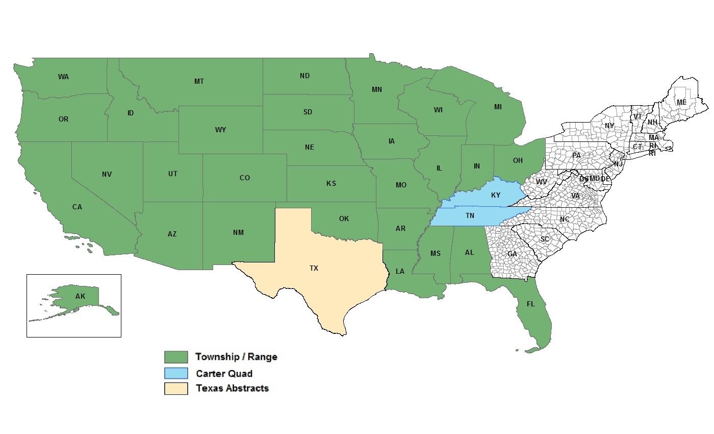
Land grid data is basically the information that maps out land into a grid or network, based on set coordinates or natural landmarks. These grids help to identify, manage, and keep track of different land assets.
Thomas Jefferson is synonymous with this land grid. As the father behind westward expansion and distribution of the land that came with it, he believed that dividing the land into uniform parcels through the Public Land Survey System (PLSS) would encourage land ownership and participation in the new territories.
-
July 01, 2024
Tax parcel data encompasses a wide range of attributes such as property boundaries, ownership details, assessed values, and zoning classifications. This info helps with accurate property assessments, urban planning, taxation, and better public services. For businesses, it aids in planning and risk management. Overall, having accurate, up-to-date tax parcel data helps everyone make smarter decisions that benefit the economy and community.
