Land Parcels and Location Data

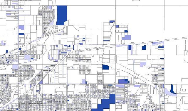
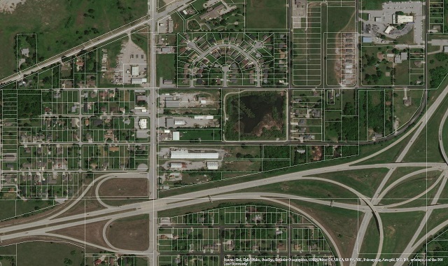
150+ million parcel boundaries and growing with over 98% of coverage for the US population.
Parcels are broken into legal boundaries within the land grid. These land parcels have associated owners, uses and assessments. Essentially, these polygons or land parcels encompass everything from commercial buildings, to homes, parks, farms, and everything in-between.

Updated Parcels?
Getting the most out of your data
Parcel data that is up to date is critical in making decisions about land. The core fundamentals of ownership, address, name, use and other characteristics are the key to understanding what happens on that piece of land.
Leasing your data??
Overpaying?
Our data is purchased, not leased. You will never need to remove our data from your maps (you own it). We also give you the option to choose future updates or just buy the data at that static point in time. Buy the county, the state, or grab our nationwide coverage. Updates are 50% of the buy price starting in year one. Our data packages are designed to meet all needs and budgets.

 sales@uslandgrid.com
 Phone : 877-870-8872

