 sales@uslandgrid.com
 Phone : 877-870-8872

-
October 16, 2024
Looking to Transition from an Outdated Land Grid?
Before making the move, it’s essential to consider these questions:
- Does your current land grid provide a full picture, including lots, quarters and quarter quarters, or is it limited to sections and townships?
- Is the data user-friendly and easy to implement across company projects?
- Are the datasets seamless and contiguous, eliminating data gaps?
- How is your current data structured—leased or owned, and what’s the cost impact on your organization?
- What delivery formats are available to streamline integration?
At USLandGrid, we provide end-to-end support for companies moving off their old land grid. From exiting existing contracts to finding and replacing outdated grids, and spatially adjusting internal polygons, we ensure a seamless transition every step of the way.
We’re committed to providing data solutions that are current, detailed, and seamlessly integrate into
-
June 21, 2023
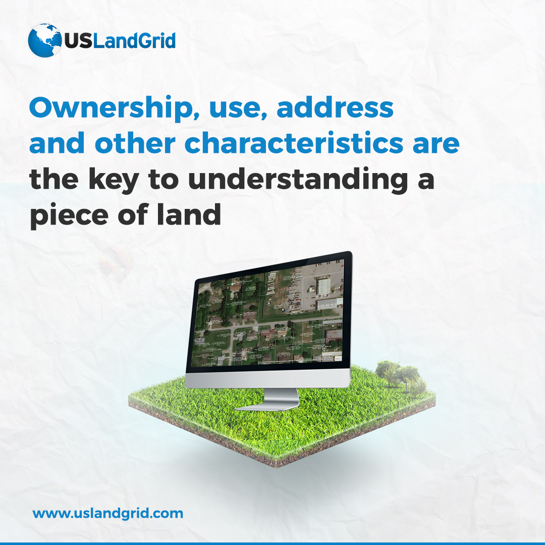
Tax Parcel Data
It's been a big year when it comes to tax parcels. Our coverage has now expanded to over 3,200 counties, with less than 50 counties remaining to have 100% complete nationwide coverage.
Most of our parcels are updated more than twice per year and contain over 26 property attributes with property boundaries including -
May 15, 2023
The Power of Land Data: Unlocking the Potential with USLandGrid
In the world of maps, real estate, land developers, urban planners, utilities, and even government agencies, having access to accurate and up-to-date land data is essential for making informed decisions. Fortunately, USLandGrid provides a comprehensive solution by offering a wealth of information
-
March 08, 2022
Section Township Range AND Lots and Quarters and Quarter Quarters and Tax Parcels
Most vendors think land data equals sections and townships, maybe boundaries. We realize that complete land data means just that. Our land grid includes sections, townships, quarters, quarter quarters, lots and boundaries. In Texas, we have the same depth and breadth of layers. Our tax parcels are the latest and greatest including the latest tax roll and the latest polygons.
Incomplete Land Grid?
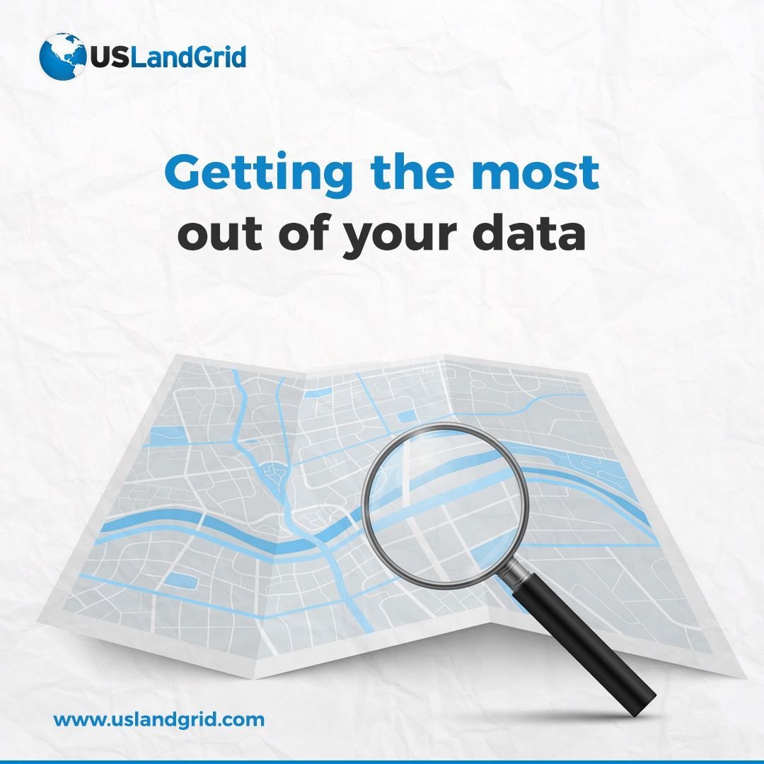
Getting the most out of your data
Most legal descriptions refer to lots and quarters. Your land data is going to need something that matches those legals. If you are mapping assets yourself, it's also going to be much easier if the land grid is sliced and diced