-
July 01, 2024
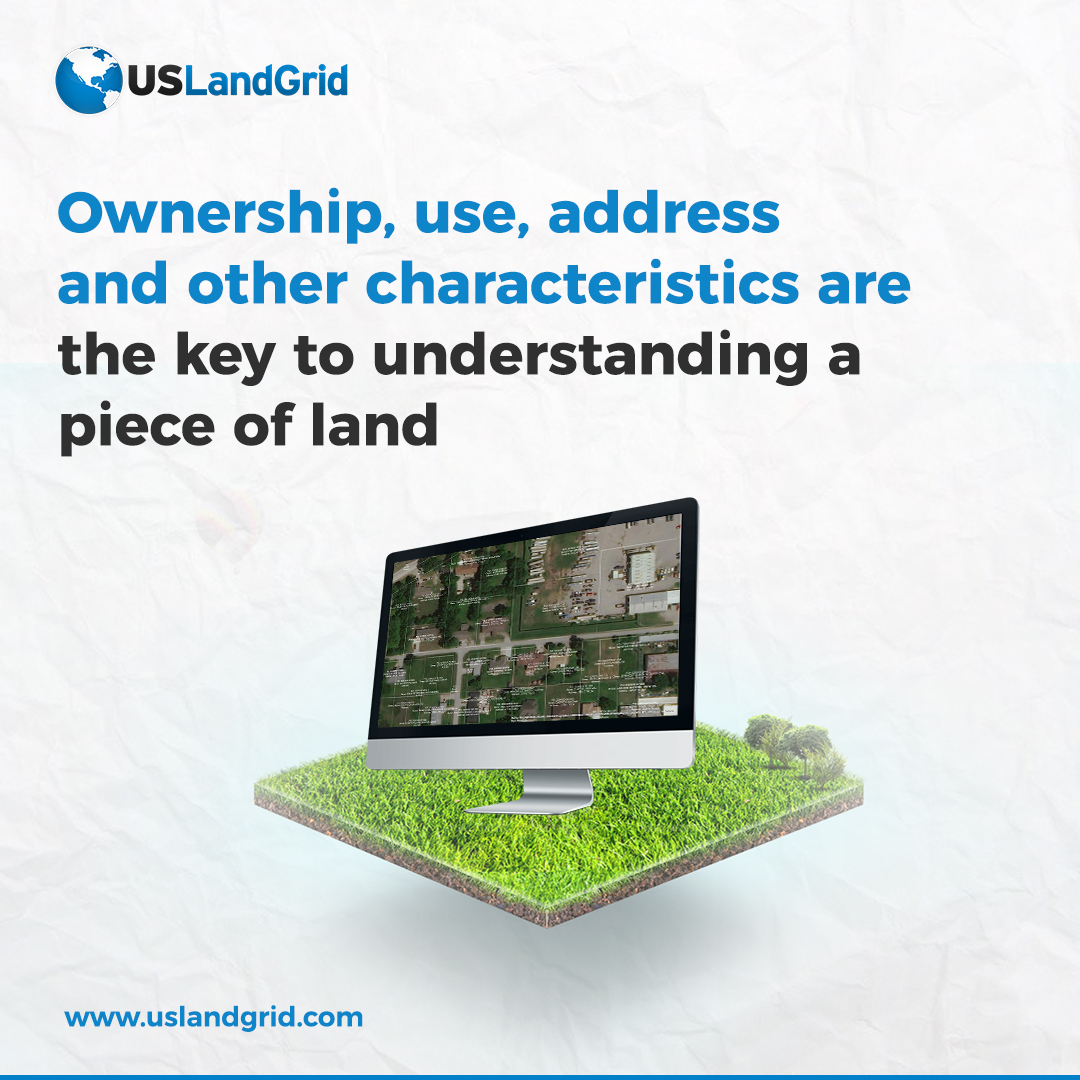
Tax parcel data encompasses a wide range of attributes such as property boundaries, ownership details, assessed values, and zoning classifications. This info helps with accurate property assessments, urban planning, taxation, and better public services. For businesses, it aids in planning and risk management. Overall, having accurate, up-to-date tax parcel data helps everyone make smarter decisions that benefit the economy and community.

-
June 21, 2023

Tax Parcel Data
It's been a big year when it comes to tax parcels. Our coverage has now expanded to over 3,200 counties, with less than 50 counties remaining to have 100% complete nationwide coverage.
Most of our parcels are updated more than twice per year and contain over 26 property attributes with property boundaries including -
May 15, 2023

The Power of Land Data: Unlocking the Potential with USLandGrid
In the world of maps, real estate, land developers, urban planners, utilities, and even government agencies, having access to accurate and up-to-date land data is essential for making informed decisions. Fortunately, USLandGrid provides a comprehensive solution by offering a wealth of information
-
March 08, 2022
Section Township Range AND Lots and Quarters and Quarter Quarters and Tax Parcels
Most vendors think land data equals sections and townships, maybe boundaries. We realize that complete land data means just that. Our land grid includes sections, townships, quarters, quarter quarters, lots and boundaries. In Texas, we have the same depth and breadth of layers. Our tax parcels are the latest and greatest including the latest tax roll and the latest polygons.
Incomplete Land Grid?
Getting the most out of your data
Most legal descriptions refer to lots and quarters. Your land data is going to need something that matches those legals. If you are mapping assets yourself, it's also going to be much easier if the land grid is sliced and diced
-
December 04, 2018USLandGrid.com has a tax parcel database that includes all the major attributes including PID, owner name, mailing address, physical address, market value, tax zone, and many other attributes. They @USLandGrid now have over 3,000 counties of tax parcel data across the United States. All of Oklahoma was recently updated. The complete Oklahoma tax parcel dataset was just updated with 26+ attributes for each county.

-
November 29, 2017http://www.ogspace.com/tax-parcel-data/
 sales@uslandgrid.com
 Phone : 877-870-8872

