 sales@uslandgrid.com
 Phone : 877-870-8872


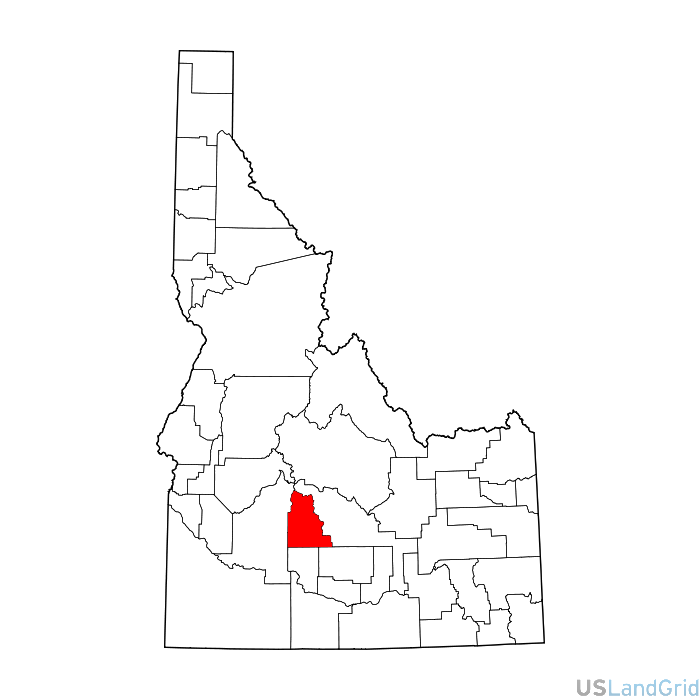
Standardized land grid data for Camas, Idaho supporting GIS teams working on land review, mapping, and operational planning.
Delivered Projection(s):
• Geographic (GCS) NAD27 Datum
• Geographic (GCS) NAD83 Datum
Files Included:
• Sections layer
• Townships layer
• Lots layer
• Quarters layer
Optimized for enterprise GIS, mapping applications, and spatial analysis with minimal data preparation.


Camas, Idaho Land Grid
Standardized land grid data for Camas, Idaho supporting GIS teams working on land review, mapping, and operational planning.
USLandGrid provides standardized land grid data for Camas, Idaho, helping reduce GIS cleanup and improve spatial accuracy.
Why teams use this dataset
- Consistent grid framework for overlays and mapping
- Supports ArcGIS and internal GIS workflows
- Useful for land review and operational planning
- Ready for flexible county or state delivery
Common use cases
- Spatial analysis and overlays
- Survey interpretation workflows
- Infrastructure development planning
- Operational mapping and review
Common attributes
Township, range, section, survey identifiers, legal descriptions, and grid geometry fields.
Delivery Options
- Shapefile
- File Geodatabase
- ArcGIS Feature Service
- Enterprise delivery options
Frequently Asked Questions
How do I get land grid data for Camas, Idaho?
You can request pricing or contact USLandGrid to obtain land grid data in the format that best supports your workflow.
Related Data Network
Need Land Grid Data for Camas, Idaho?
Contact USLandGrid to discuss pricing, delivery, and how this land grid data can support your operational GIS needs.
Request Pricing