 sales@uslandgrid.com
 Phone : 877-870-8872
Toggle Nav


$3,000.00
In stock
SKU
ia_grid_0
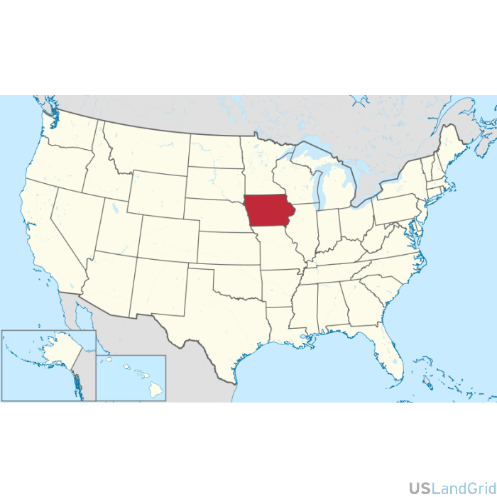
STATE: IOWA
SOURCE: Bureau of Land Management, USGS
DELIVERED PROJECTION(S): Geographic (GCS) NAD27 Datum, Geographic (GCS) NAD83 Datum
FILES: Sections layer, Townships layer and County layer
SHARE THIS:


The Iowa state land grid dataset is being distributed as a statewide file broken into individual counties. Accuracy is based on the USGS 1:24k topos and the BLM lot and tract system. The land grid is enhanced for use in land systems.
Write Your Own Review