 sales@uslandgrid.com
 Phone : 877-870-8872


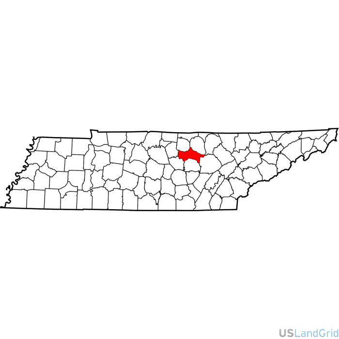
Putnam County Tax Parcels dataset is being distributed as a county file broken into an individual layer.
ATTRIBUTES/SCHEMA: parcel_id,address,owner,trans_date,sale_price,bldg_sqft,land_use_code,land_use_class,zoning,acreage,area_meters,perimeter_meters,muni_id,school_dist_id,zip_code,census_tract,census_blkgrp,census_block,mkt_val_tot,mkt_val_land,mkt_val_bldg,story_height,mail_address1,mail_address3,year_built,exterior,water,sewer,buildings,condition,addr_sec_unit_num,place_gnis_code,land_cover,elevation,owner_occupied,robust_id,usps_residential,alt_id_1,crop_cover,acreage_adjacent_with_sameowner,flood_zones,nearest_transmission_line_dist_ft,nearest_substation_dist_ft,derived_geom_properties,robust_id_source,zoning_id,zoning_code,zoning_description,zoning_type,zoning_subtype,zoning_code_link
NUMBER OF PARCELS: 38935
LAST UPDATE: 2026-Q2
(CALL FOR LATEST UPDATE DATE)


Putnam, Tennessee Parcel Data
GIS-ready parcel data for Putnam, Tennessee designed for teams working in energy, land, infrastructure, and enterprise GIS.
USLandGrid provides Putnam parcel data with a standardized structure intended to reduce cleanup and improve operational usability. Whether you are supporting ownership review, route analysis, or map-based planning, this dataset is designed for real-world GIS use.
Why teams use this dataset
- Easier ArcGIS and enterprise GIS integration
- Useful parcel-level boundaries and attribution
- Supports energy and infrastructure workflows
- Flexible delivery options for different environments
Common use cases
- Ownership and surface review
- Infrastructure and access analysis
- GIS overlays and internal applications
- Reporting and parcel-based mapping
Common attributes
Parcel ID, Owner, Acreage, Land use, Zoning, Address information, Flood zones, Land cover, Crop cover, Elevation, Building information, Infrastructure proximity
Delivery Options
- Shapefile
- File Geodatabase
- ArcGIS Feature Service
- County or state-based delivery
- Custom enterprise delivery options upon request
Frequently Asked Questions
How do I get parcel data for Putnam, Tennessee?
You can request pricing or contact USLandGrid to access parcel data for Putnam, Tennessee in the format that best fits your workflow.
Is this Putnam parcel dataset compatible with ArcGIS?
Yes. This dataset is designed for GIS workflows and can be delivered in formats commonly used with ArcGIS and related enterprise mapping systems.
What attributes are included in the parcel data?
Common attributes may include parcel identifiers, ownership-related fields, situs details, acreage, land use, zoning, and other county-dependent parcel attributes.
How often is Putnam parcel data updated?
Update timing varies by source and county availability. Use the dataset snapshot above or contact USLandGrid for the latest update information.
Related Data Network
Need Parcel Data for Putnam, Tennessee?
Talk with USLandGrid about pricing, delivery options, and how this dataset can fit your ArcGIS, land, infrastructure, or enterprise GIS workflow.